3D Mapping
While they might seem like toys, a high-quality quadcopter is a serious investment, and an easy way to add production value to a film project, or get a unique view on the world for your travel vlog. We've flown plenty, and these are the best drones in our tests.

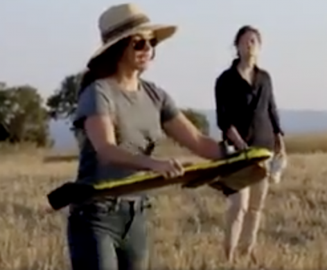
Watch Megan Fox Launch a Mapping Drone
The celebrity actress searched for Achilles tomb.

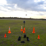
Revolutionizing the Federal Orphan Well Program: Drones and the Power of Magnetometry
The innovative marriage of advanced technology and environmental stewardship has opened new horizons in the management of environmental issues.
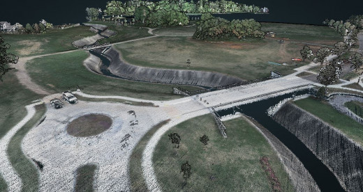
Drones Deliver Practical and Highly Technical Aerial Surveying
Historically, aerial surveys were performed only by large, crewed aircraft.
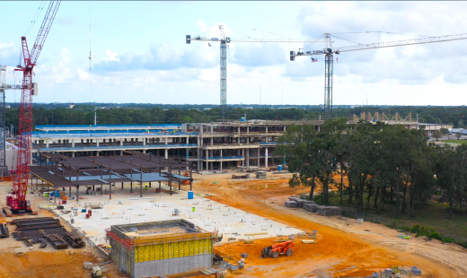
Biz Development: How Drones Can Level Up Your Construction Firm
Drone tech on construction sites increased 239 percent in 2018 alone.
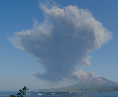
Drone Harmony's Terrain Workflow Can Help Prevent Volcanic Disasters
Peter Majtan works on a high-resolution 3D model of Japan's Sakurajima volcano for scientists to run various simulations for disaster prevention and response.

Optelos Transforming Management of Visual Inspection Data
Drone-based asset inspections have been growing rapidly over the last several years, and the growth is expected to continue well into the future.

FEATURED NEWS


TRENDING NEWS