LIDAR
While they might seem like toys, a high-quality quadcopter is a serious investment, and an easy way to add production value to a film project, or get a unique view on the world for your travel vlog. We've flown plenty, and these are the best drones in our tests.

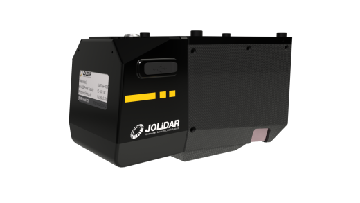
JOUAV Unveils Airborne LiDAR Sensor JoLiDAR-1000
Diverse applications, include terrain mapping, power-line inspection, mining surveying, and more.
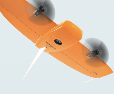
Wingtra Announces Launch of Groundbreaking LIDAR Drone Solution
Super-fast mapping drone with LIDAR.
YellowScan Seeks to Revolutionize LiDAR solutions
French multi-national enterprise relies on global partnerships and collaboration.
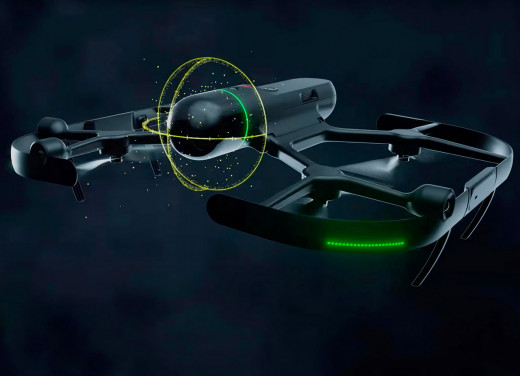
Tech Update: Leica Geosystems BLK2FLY
New generation of drone technology lands.
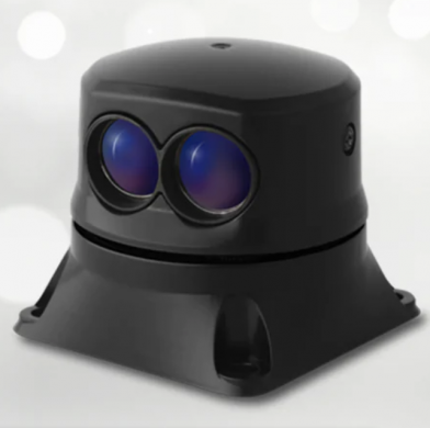
Company Profile: LightWare LiDAR
MicroLiDAR keeps rovers out of harm's way.
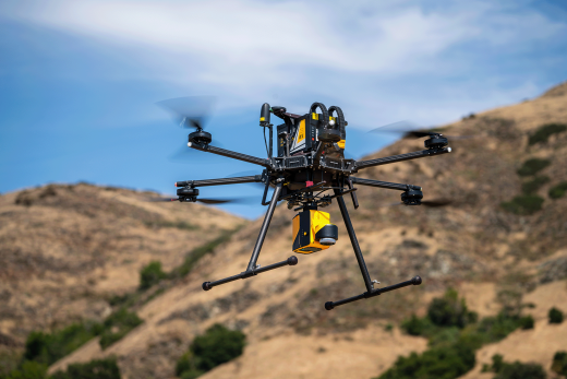
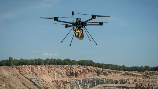
Draganfly Long-Range LiDAR System
Draganfly’s new LiDAR system is creating new opportunities.
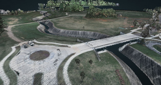
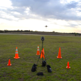
Drones Deliver Practical and Highly Technical Aerial Surveying
Historically, aerial surveys were performed only by large, crewed aircraft.
UAV EXPO PRODUCT SPOTLIGHT: YellowScan Voyager LiDAR
The Voyager is compatible with just about any enterprise drone platform.
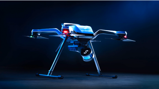
Hovermap-Zoe Integrates Advanced Tools in an All-Conditions Drone
Hovermap-Zoe brings autonomy, LiDAR mapping, and a tough, all-conditions drone together in a seamless integration.
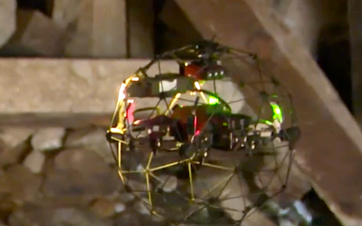
Flyability Launches Elios 3 Indoor Lidar Drone
Flyability recently unveiled the Elios 3—the world’s first collision-tolerant drone equipped with a LiDAR sensor for indoor 3D mapping.
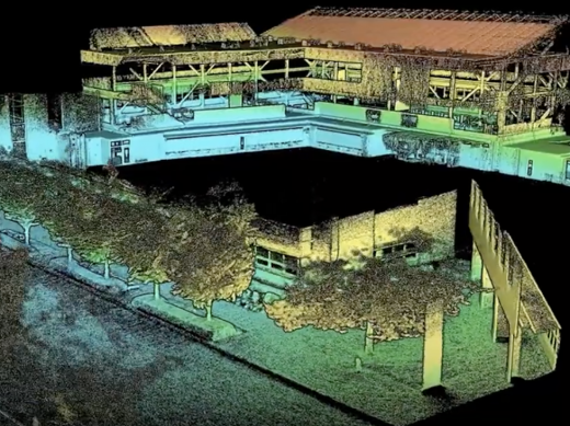
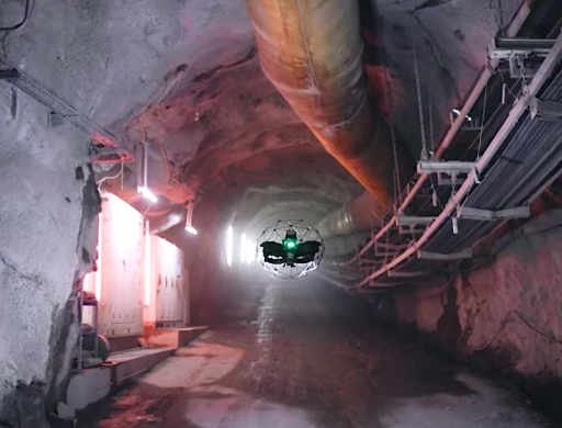
Drones Explore Nevada's Historic Sutro Tunnel
Drones Explore Nevada's Historic Sutro Tunnel
FEATURED NEWS


TRENDING NEWS