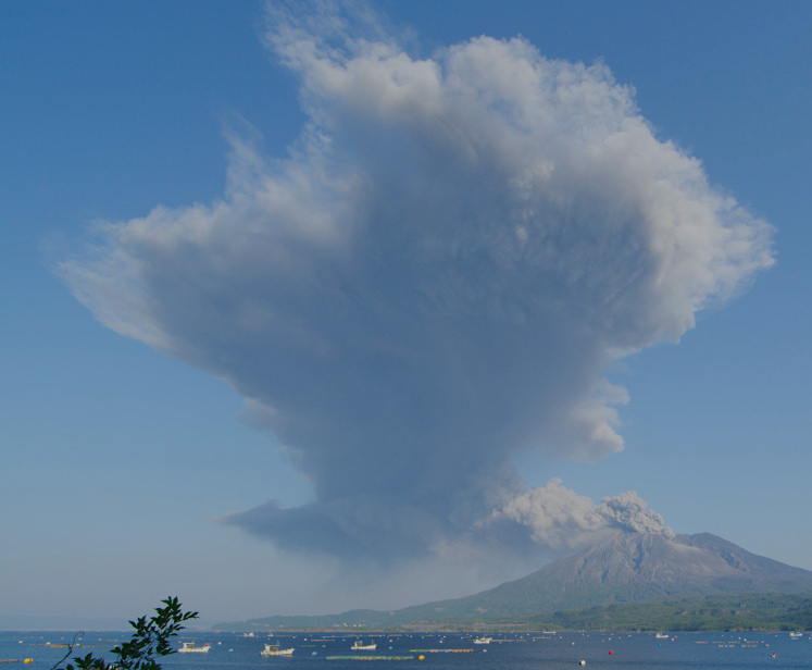

Sakurajima, one of the world’s most active volcanoes, is located in the south of Japan. Scientists are predicting a major eruption within the next 30 years.
Happily, Peter Majtan works on a high-resolution 3D model of the volcano for scientists to run various simulations for disaster prevention and response. Majtan, CTO and Co-Founder at DERYL Group K.K works with NHK, SVO, MLIT, and Kyoto University to create an up-to-date, high-resolution 3D model of the volcano.
Additionally, specific areas on the volcano are planned to be mapped in the highest-resolution possible on a regular basis to detect any possible ground deformations.
Here, Majtan reveals the biggest challenges and dangers of his work and how he can potentially help save thousands of lives in the event of a major volcanic eruption.
What is the significance and impact of the project?
Our 3D model is used to simulate pyroclastic flow, lava-flow and lahar—a cement-like mixture of ash and water—flow paths for various locations on the volcano. This will be used to prioritize evacuation, disaster response, and management in the initial and secondary stages of an eruption.
What are the technical challenges you are facing in this project?
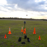
There are quite a few. First, Sakurajima is a rather steep volcano, and the vast majority of drone-mission planning solutions are not terrain-aware and therefore useless to us.
Then, the area within a 2km radius around the currently active crater is off-limits due to ongoing daily activity. This, combined with the steep nature of the volcano, the complex terrain with pretty much non-existent road access, and the 500m height limit of DJI-based drones all result in extremely complicated flight planning.
Furthermore, the constant daily activity of the volcano, the outpouring of ash and SO2-rich gas—which is extremely corrosive and deadly— complicates things in terms of both visibility, as our 3D terrain-mapping method relies on photogrammetry, and the actual danger to the drones and crews. We need to carefully monitor the wind direction, and we are forced to change our location during the day, or, in many instances, completely abandon work for the day.
How long did it take to complete the current stage of the project?
So far we have mapped the south-east half of the volcano—which is the area of most activity and danger. Due to the technical difficulties mentioned above, it took us more than four months to achieve this.
How will the data from the mapping be used to generate insights?
The scientists are using our 3D terrain model of the volcano to run all possible simulations of the expected Plinian eruption to determine the various paths of flow for pyroclastics clouds, lava, and lahar depending on the actual points of eruption. Even with their powerful supercomputers, these simulations take a lot of time, and it will be almost impossible to run them once the eruption begins and the actual points of breach [new craters] are known.
During a Plinian eruption, the ash column first rises to the sky. It takes at least 30 to 60 minutes for it to start collapsing under its own weight and start generating the extremely dangerous pyroclastic flows—think Pompeii and Herculaneum. Every minute is crucial. The goal is that the scientists run all the various scenarios in advance, so once the eruption begins and actual locations of the new craters are known, they will be able to quickly determine the likely paths of the pyroclastic flows, and therefore be able to prioritize and focus emergency response and evacuation, potentially saving thousands of lives.
Additionally, aside from the computer simulations, our 3D terrain data—in particular the repetitive mapping of the most dangerous areas with the highest possible level of resolution and accuracy—will be used to monitor any ground deformations by comparison with previous data sets. This will help with the prediction of future activity.
How could Drone Harmony help you resolve some of these challenges?
The terrain-aware mission planning in Drone Harmony was the number one reason why we selected it for our project. This was closely followed by the ability to plan various complicated missions for later offline use.
Drone Harmony is also great for managing such a large and complicated site, as well as meet the need to repeat many of the missions on regular intervals for years to come. Finally, we really appreciate the access to top-level management and engineering at Drone Harmony for the personalized support that such a complicated project requires and depends on. I am especially excited about a possibility to develop volcano-specific missions that could be useful for similar projects at other active volcanoes around the world.
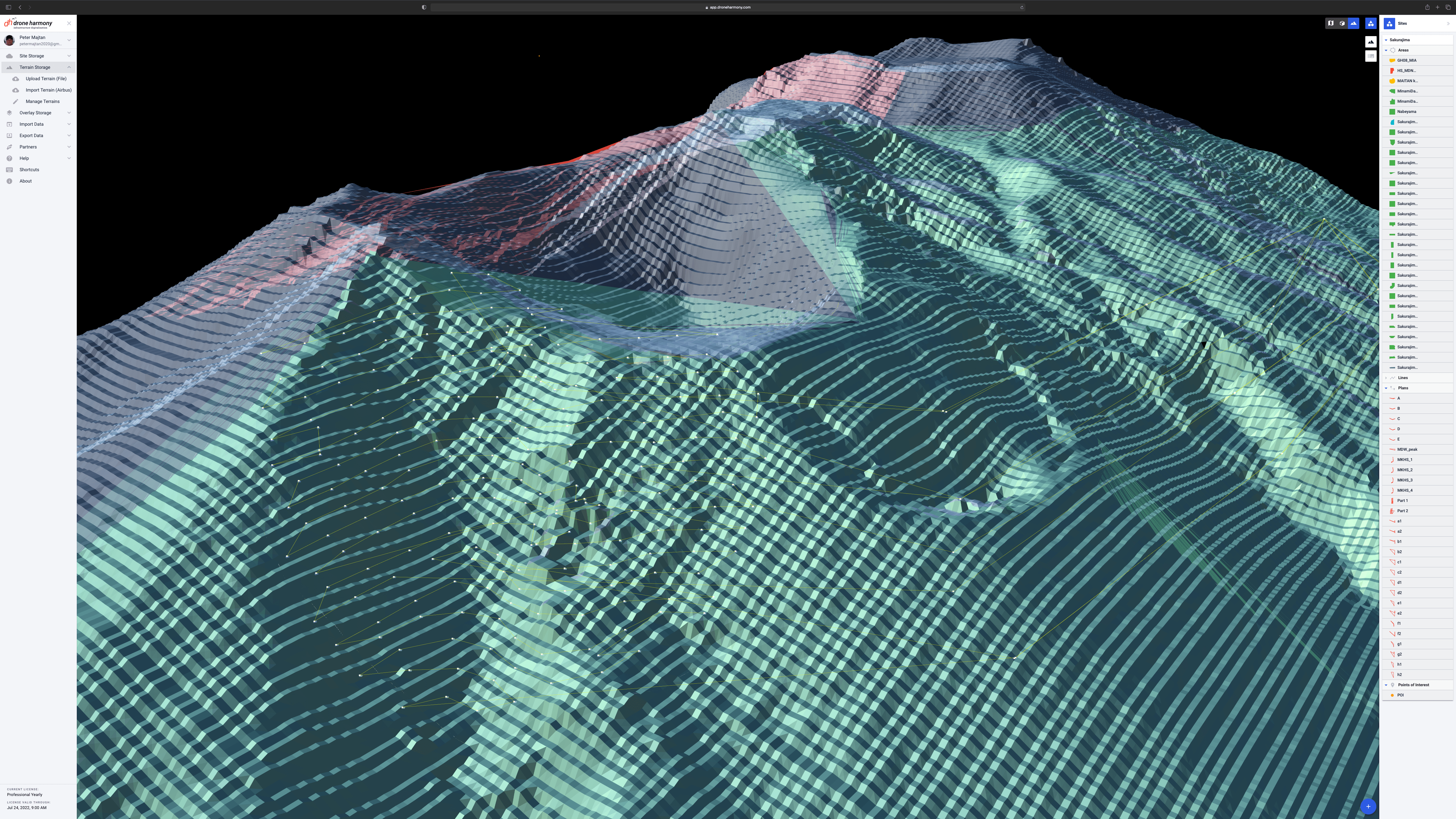
Screenshot courtesy Drone Harmony
WATCH: Learn About Drone Harmony's Hill Scan Tech